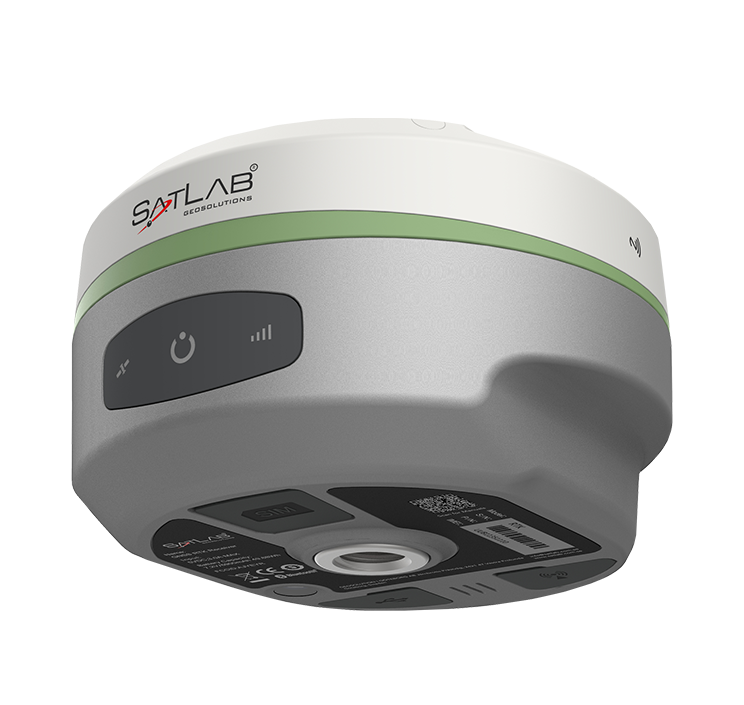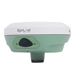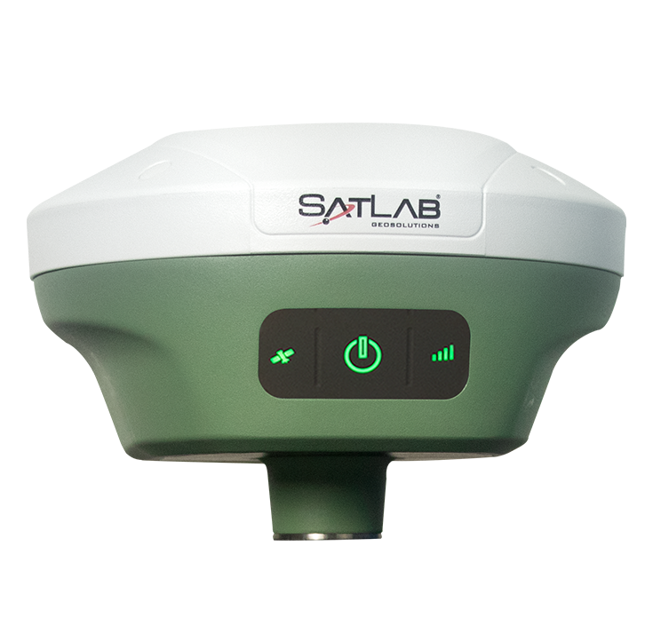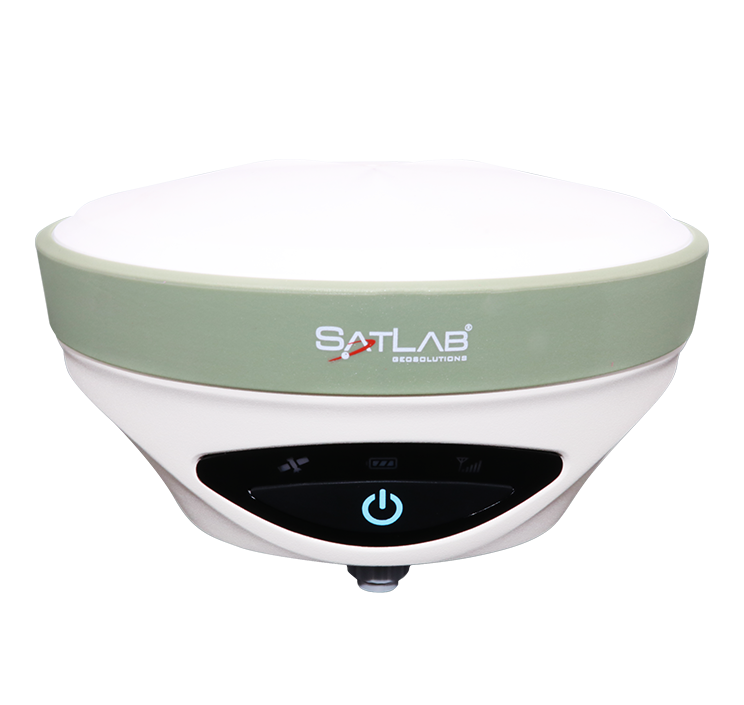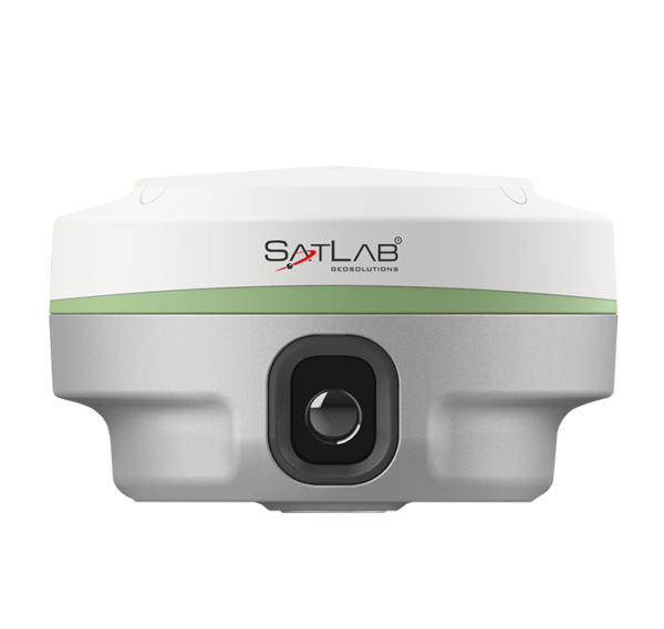
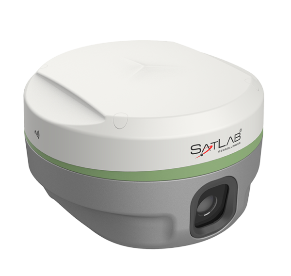
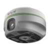
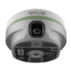
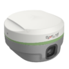
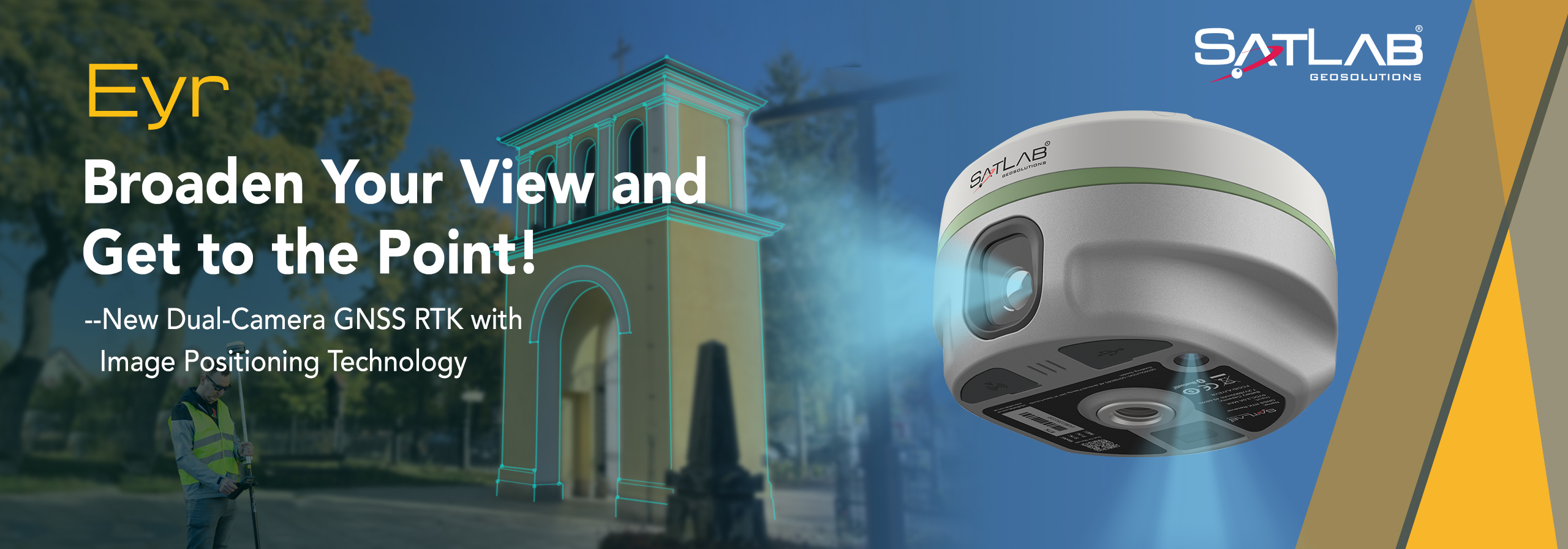
Equipped with dual cameras, the Eyr features image measurement and visual stakeout, which not only provide a wide range of contact-free measurement solutions but also make stakeout operations intuitive and simple. The design of the RTK is aesthetic but practical, and the pocket-sized and lightweight body makes it portable and versatile.
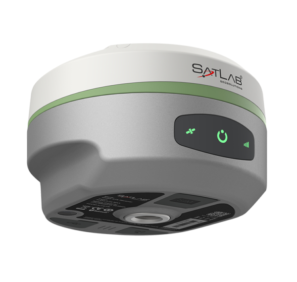
The Eyr is equipped with SatLab’s unique product design and self-developed antenna for more stable and efficient operation. Meanwhile, a highly integrated motherboard chip with low power consumption, which supports up to 1408/1760 channels and an advanced SoC platform, is also the core feature of Eyr.
The excellent hardware configuration efficiently suppresses the interference signals and obtains higher quality observation data from satellite constellations are the advantages of the chip.
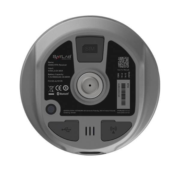
The built-in multi-protocol radio transmits and receives differential data that is compatible with multiple brands of RTK radio data links.
The self-developed radio module enables the Eyr to not only perform well in a typical operating range of 7km outdoors but even better in ideal working conditions.
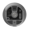
Based on the high-performance image processing technology on the Android system, the 5-megapixel rearview camera, combined with the controller, captures precise coordinates in real time, in a range of 2-15 metres and with an accuracy of 2-4 cm.
The 2MP camera beneath enables AR live-view stakeout with an accuracy of 2cm, saving time and effort in reaching the stakeout point. Undoubtedly, the new image survey function enables non-contact measurements, greatly improving the usable range of GNSS for efficient and safe operation.
The SatLab Satsurv is the best companion for the Eyr GNSS receiver. The professional field surveying software is functional and easy to use, thus promoting the performance of the Eyr further.
SGS is a versatile desktop software for the post-processing of measurement data, satisfying users’ needs in addressing a wide range of data post-processing.
Moreover, the image data results type obtained with Eyr is compatible with mainstream third-party 3D modelling softwares like ContextCapture, DPSmart, and Pix4D.
The 3D modelling feature makes Eyr a perfect partner for collaborative UAV operations.