Partner Center
rtk
gnss
Industries
Product
GNSS RTK Receivers
https://youtu.be/0oYN89dMRYQ
Tablets & Controllers
Opticals
Hydrography & Oceanography
LiDAR
Software
Machine Control
Resources
Video
Case Study
News & Events
Contact Us
Send An Inquiry
Global Location
Find Our Dealer
Become Our Partner
Explore
About Us
Partner Center
English
日本語
Español
Français
Português
Resources
Home
Resources
Resources | Global Satellite Positioning Solutions | SatLab Geosolutions AB
Video
Check All >>
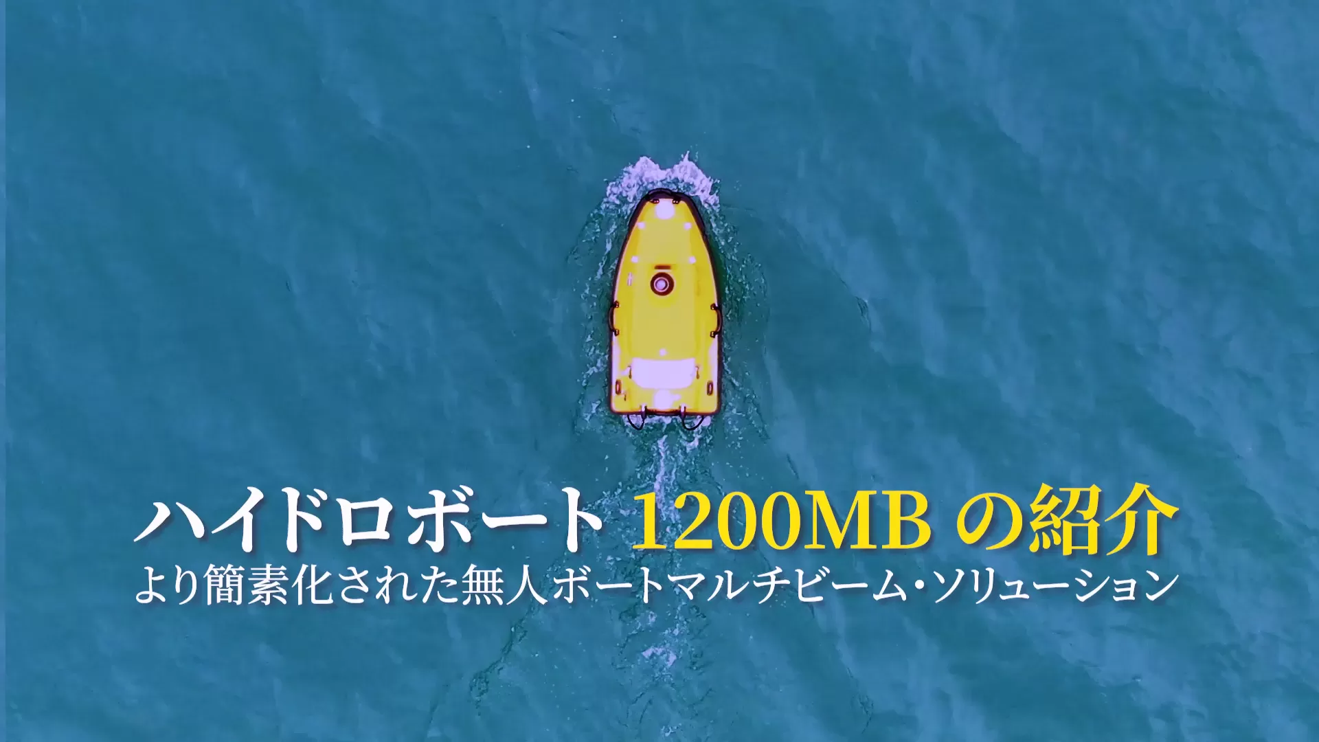
ハイドロボート 1200MB の紹介 | シンプルな無人ボート・マルチビームソリューション
July 23, 2025
LEARN MORE
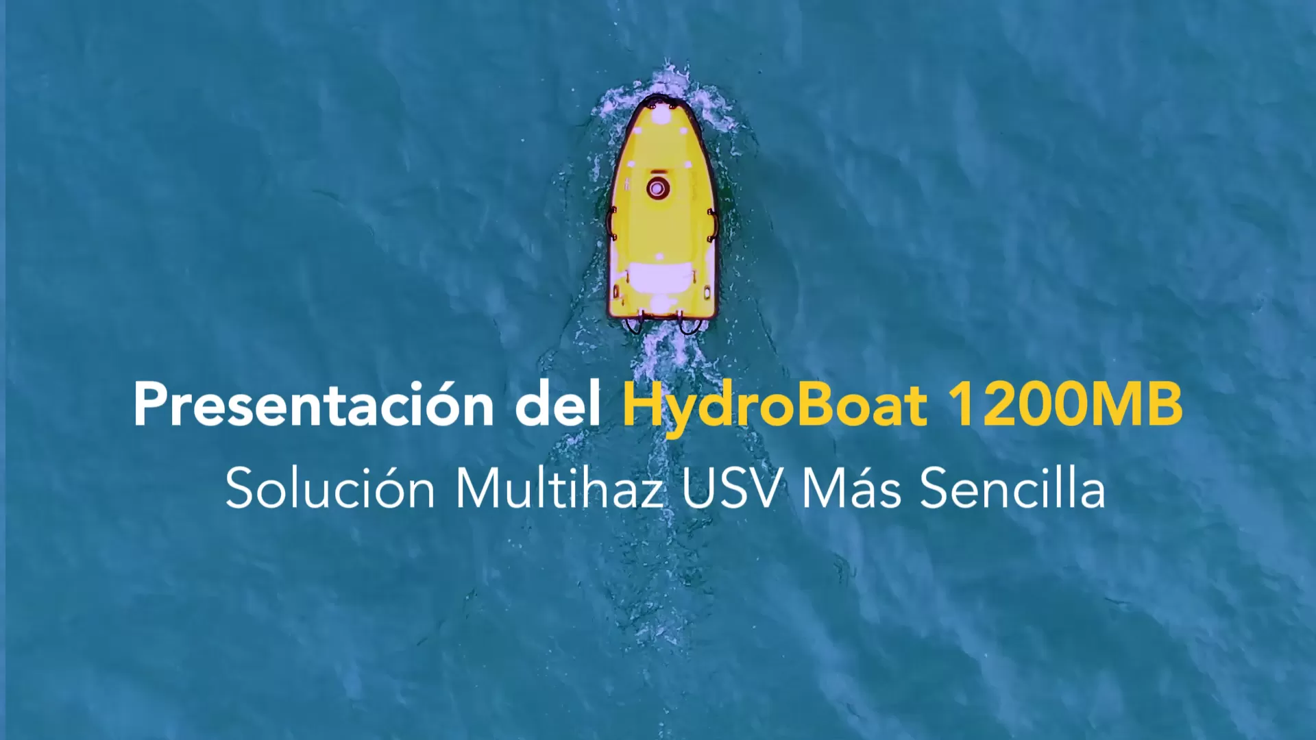
HydroBoat 1200MB | Solución Multihaz USV Más Sencilla
July 23, 2025
LEARN MORE
She Won an Android Total Station! | STL12 Winner at GEP 2025, Philippines
July 15, 2025
LEARN MORE
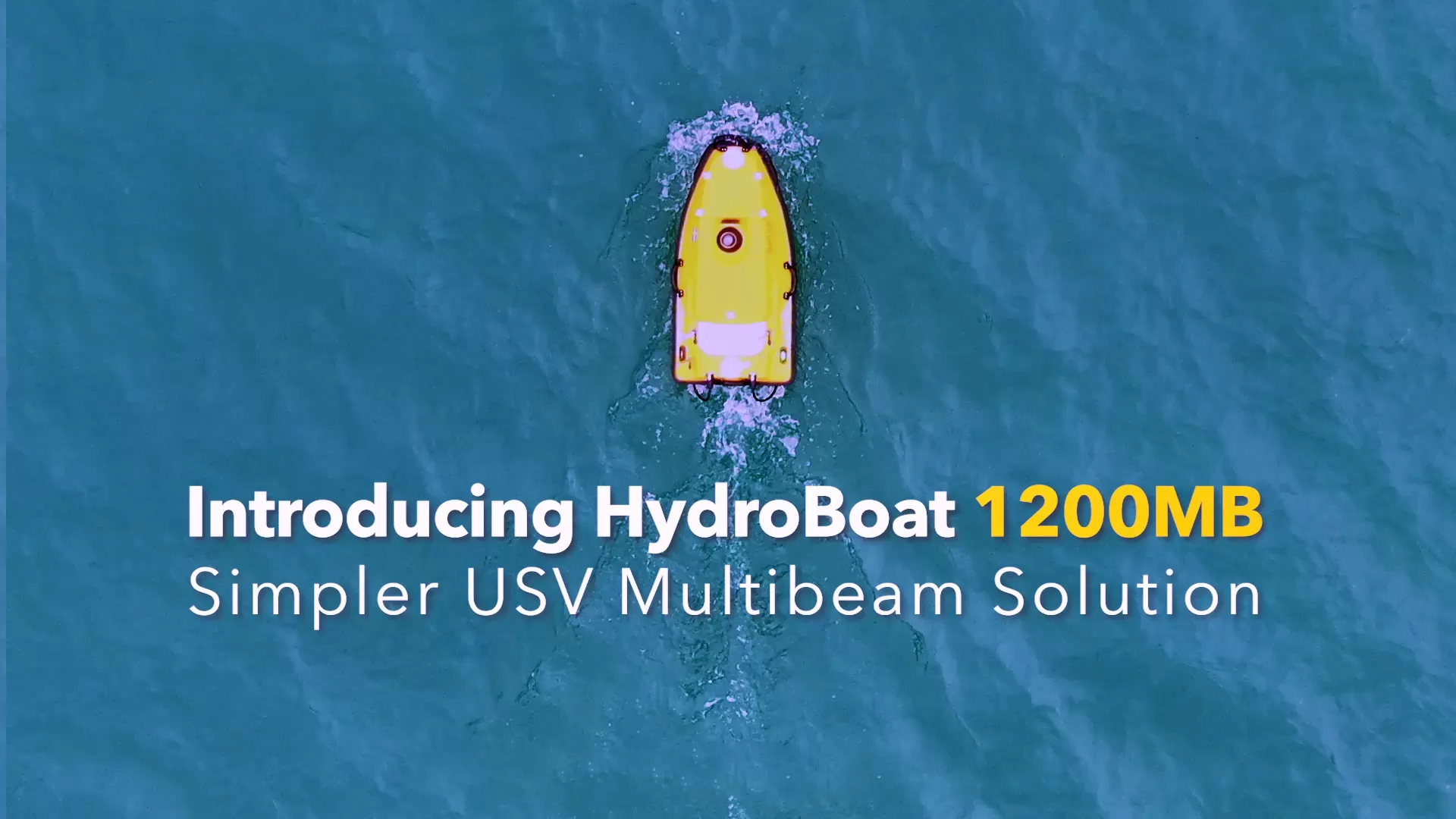
HydroBoat 1200MB USV Multibeam Solution
June 10, 2025
LEARN MORE
Tech Talk | Apus-MX UAV LiDAR
October 31, 2024
LEARN MORE
Introducing Apus-MX UAV LiDAR | Power Up and Reach Beyond
October 31, 2024
LEARN MORE
Cygnus Lite Technical Talk | Practical Introduction to the Portable and Lightweight SLAM Scanner
October 31, 2024
LEARN MORE
Cygnus 2 Handheld SLAM Scanner | Your Data, Elevated!
October 31, 2024
LEARN MORE
Case Study
Check All >>
Debris flows are most frequent in summer and autumn. During this period, increased rainfall, heavy storms, and prolonged precipitation provide abundant water, triggering debris flow events.
May 12, 2025
LEARN MORE
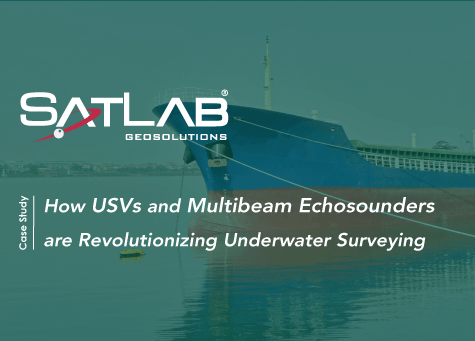
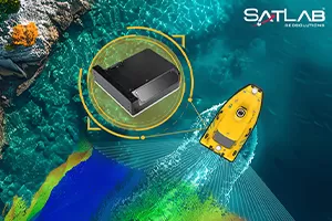
The integration of HydroBoat 1500 USV and HydroBeam M4 MBES is a significant leap forward, transforming underwater surveying and paving the way for a more sustainable future for our oceans.
April 10, 2025
LEARN MORE
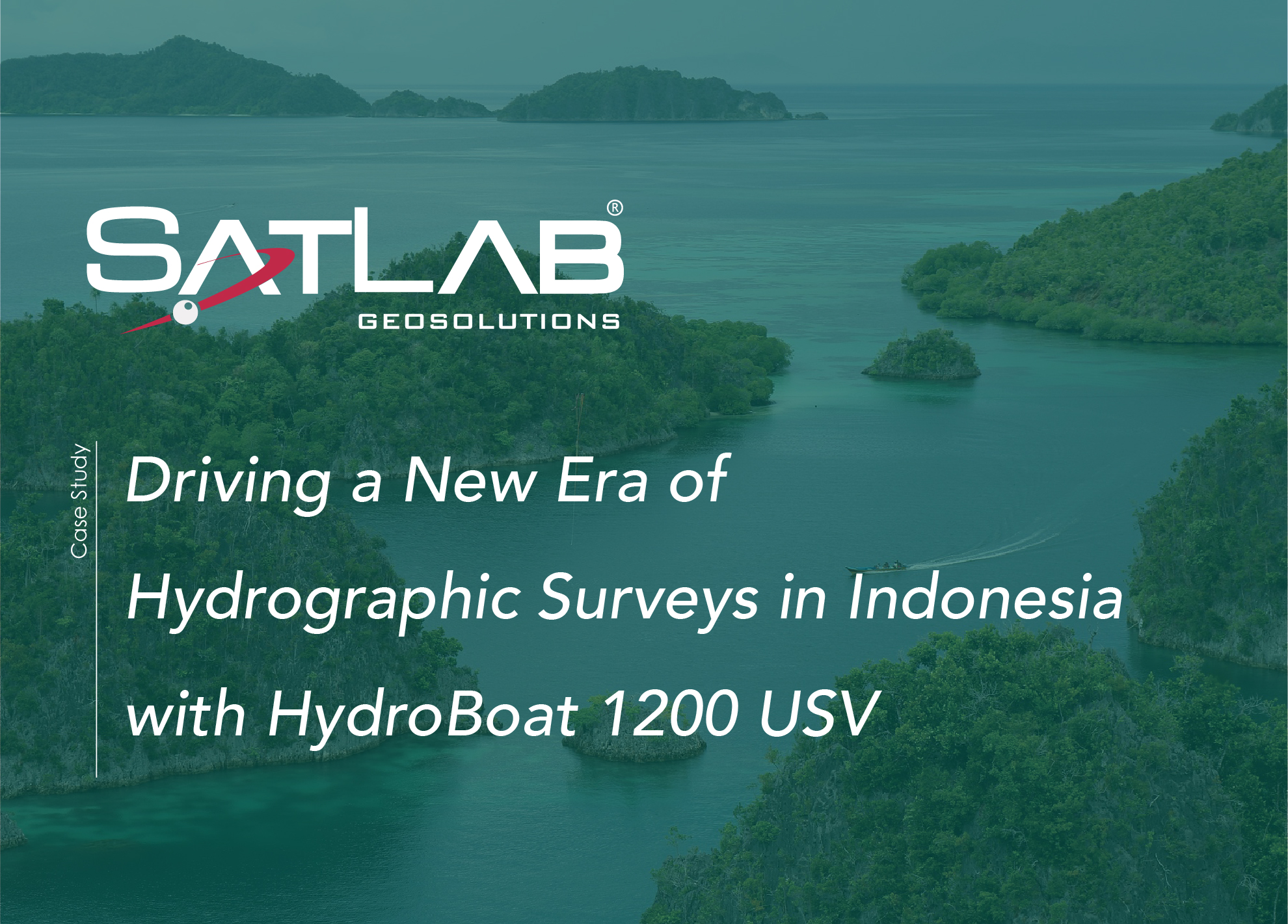
The SatLab HydroBoat 1200 USV, when paired with the HydroFlow 1200 ADCP, ushers in a new era of precision and efficiency for hydrographic surveying.
November 5, 2024
LEARN MORE
The integration of HydroBoat 1500 USV and HydroBeam M4 MBES is a significant leap forward, transforming underwater surveying and paving the way for a more sustainable future for our oceans.
November 5, 2024
LEARN MORE
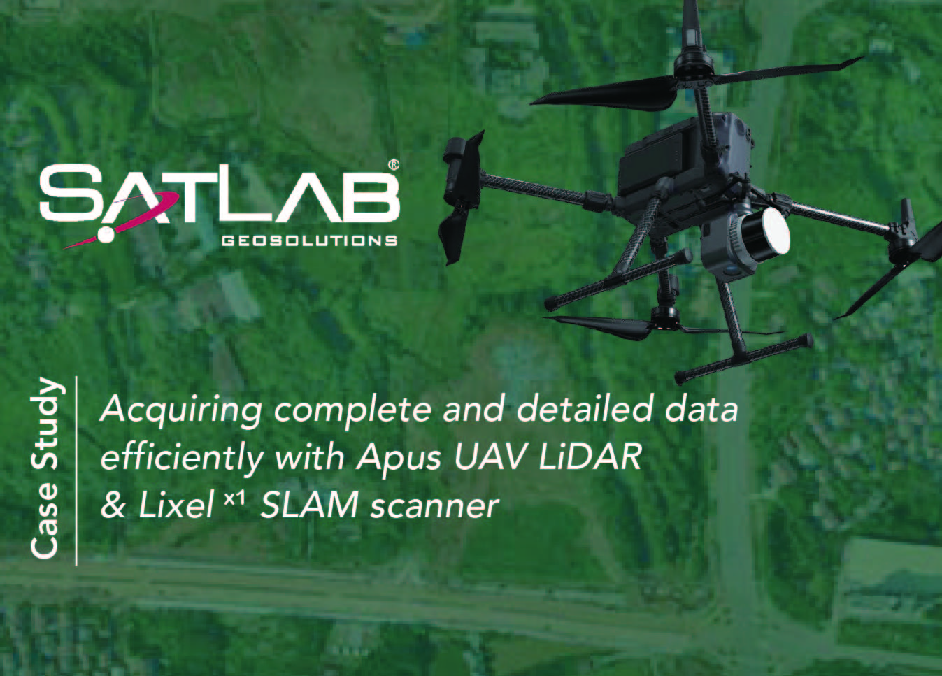
UAV LiDAR technology can create highly detailed 3D maps of the terrain and objects below, while SLAM scanning can accurately locate and position the UAV during the survey.
April 23, 2024
LEARN MORE
UAV LiDAR technology can create highly detailed 3D maps of the terrain and objects below, while SLAM scanning can accurately locate and position the UAV during the survey.
March 20, 2024
LEARN MORE
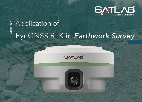
Visual positioning techniques applied to earthwork measurement in foundation engineering.
September 13, 2023
LEARN MORE
Utilizes Cygnus SLAM laser scanners, resulting in more complete and detailed 3D city information.
September 5, 2023
LEARN MORE
News & Events
Check All >>
Claim Your FREE Pass to INTERGEO 2025!
August 13, 2025
LEARN MORE
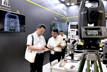
Driving Innovation Forward: SatLab at CSPI-EXPO 2025
June 23, 2025
LEARN MORE
Introducing the HydroBoat 1200MB – A Simpler USV Multibeam Solution from SatLab
June 9, 2025
LEARN MORE
SatLab to Unveil Exciting New Solutions at CSPI-EXPO 2025, Japan
April 25, 2025
LEARN MORE
Join SatLab at GeoSmart India 2024: Discover the Future of Geospatial Technology!
November 25, 2024
LEARN MORE
Sat-Live Day en Colombia – Únete a Nosotros
October 12, 2024
LEARN MORE
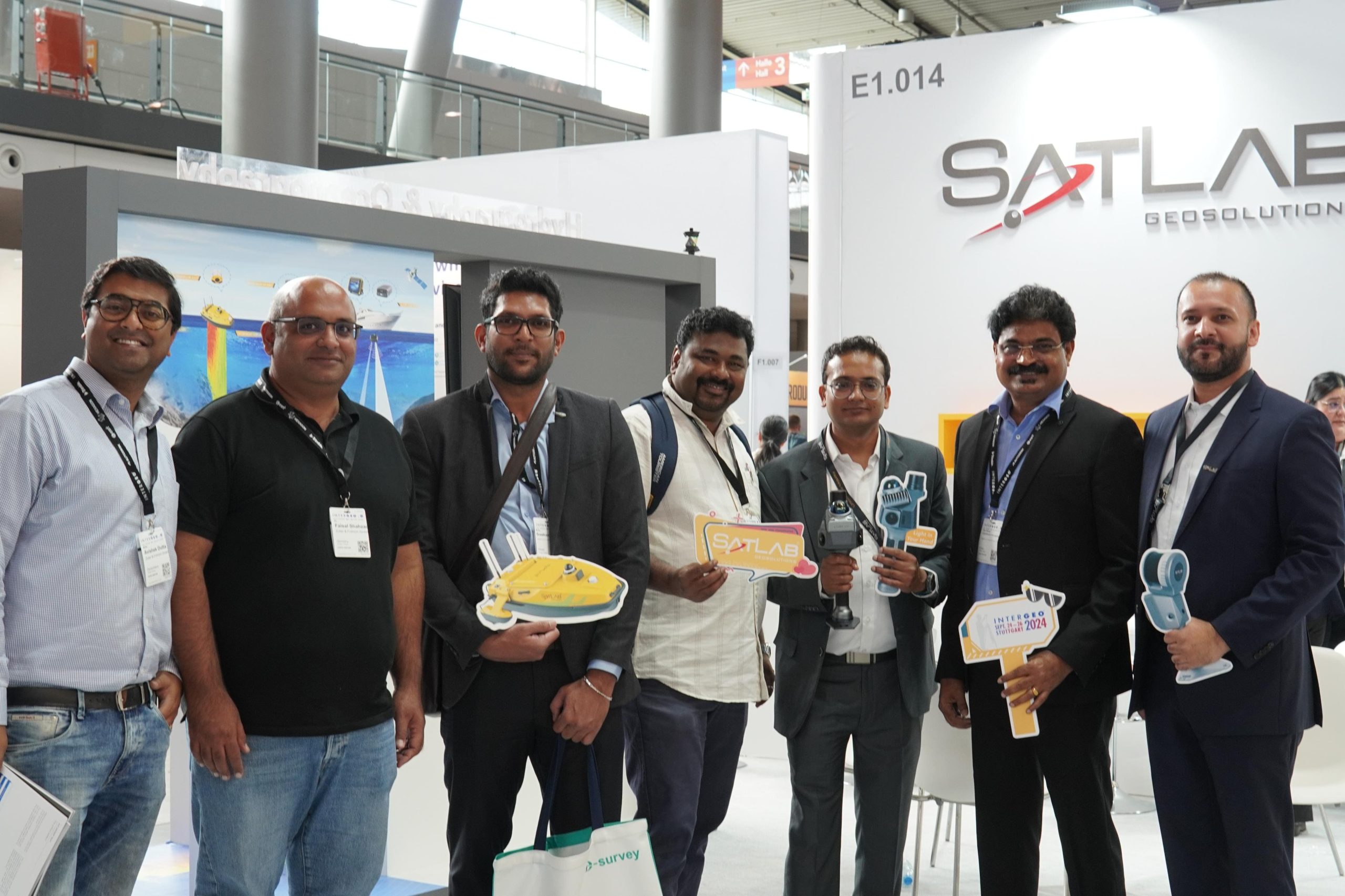
SatLab Wraps Up Successful Participation at INTERGEO 2024
September 27, 2024
LEARN MORE
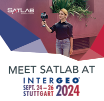
Upcoming Exhibition Announcement: SatLab at INTERGEO 2024
September 9, 2024
LEARN MORE