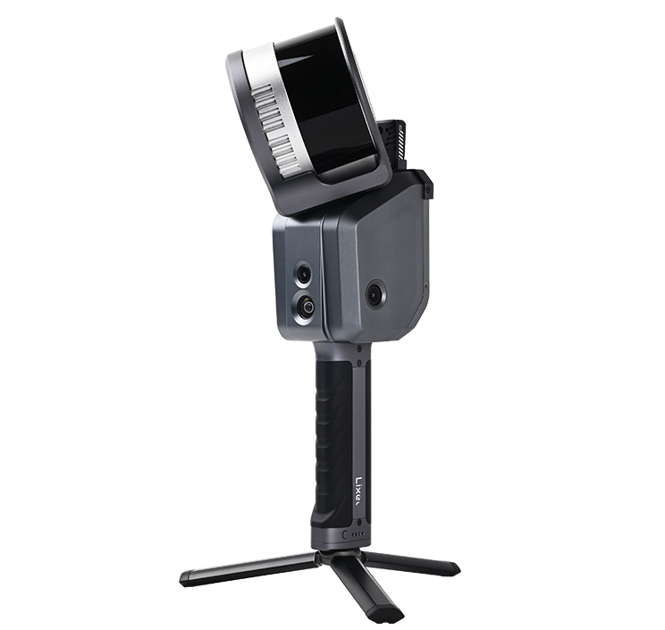
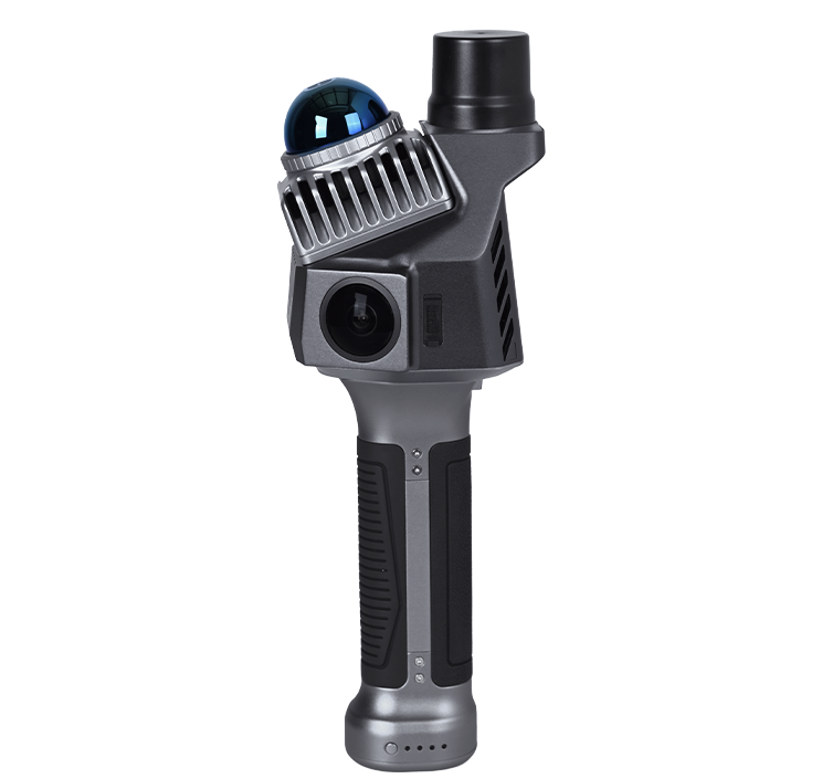
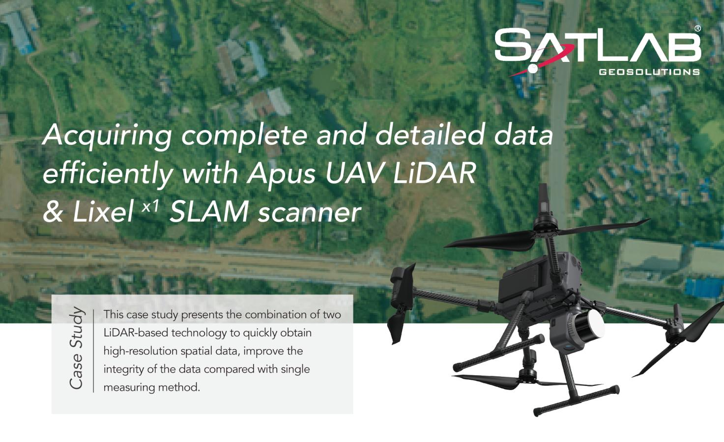
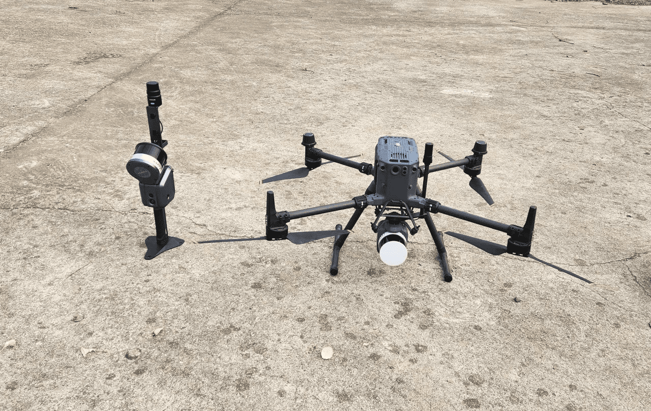
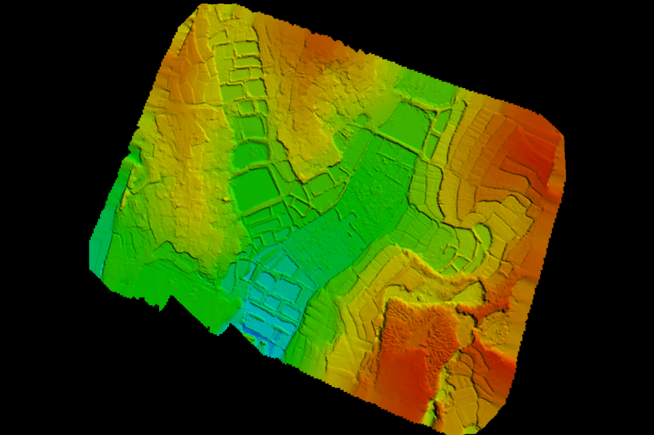
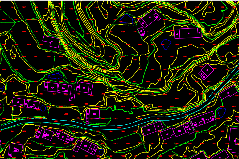
Apus UAV LiDAR
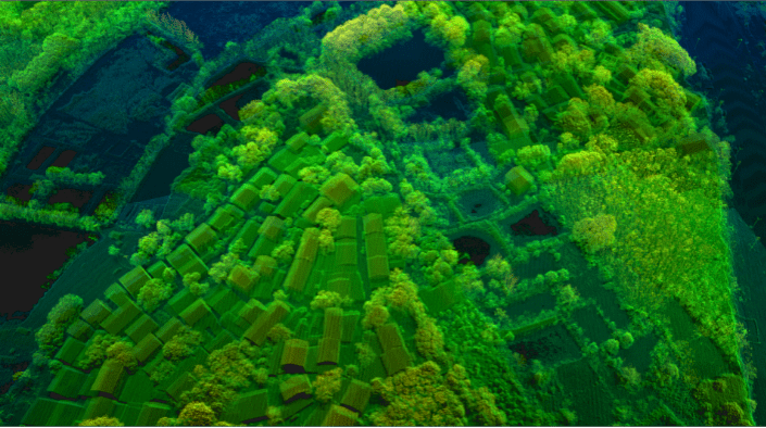
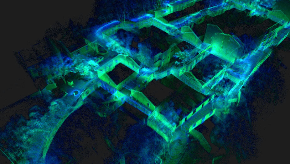
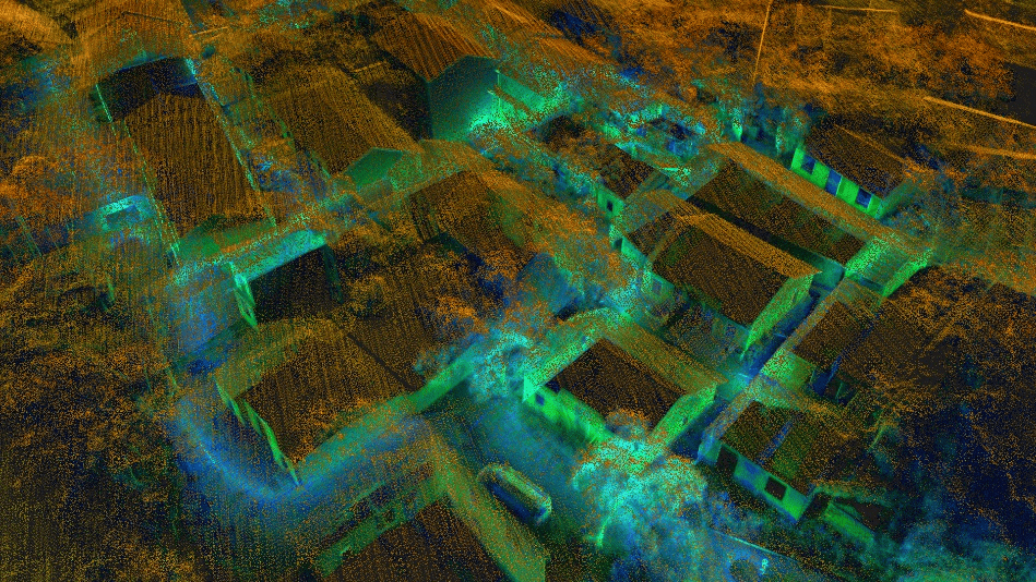
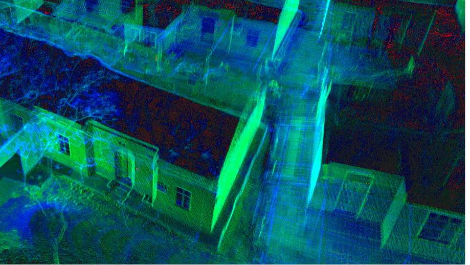
The Apus represents the evolution of SatLab's LiDAR solutions. This light compact and superior system integrates an advanced laser scanner with an industrial grade camera and a sophisticated inertial navigation system, is able to collect reliable and great detailed point cloud and rich image information.
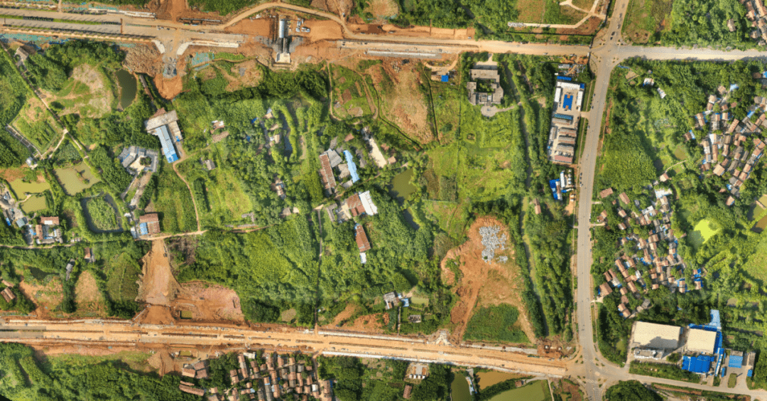
Its diverse applications span across 3D spatial data acquisition for terrain mapping, electricity, forestry and agriculture surveys, emergency response, and land planning.

.png)