-600x445.png)
-600x569.png)
-600x569.png)

-100x100.png)
-100x100.png)
-100x100.png)
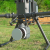
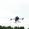
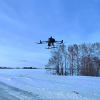
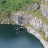

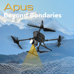
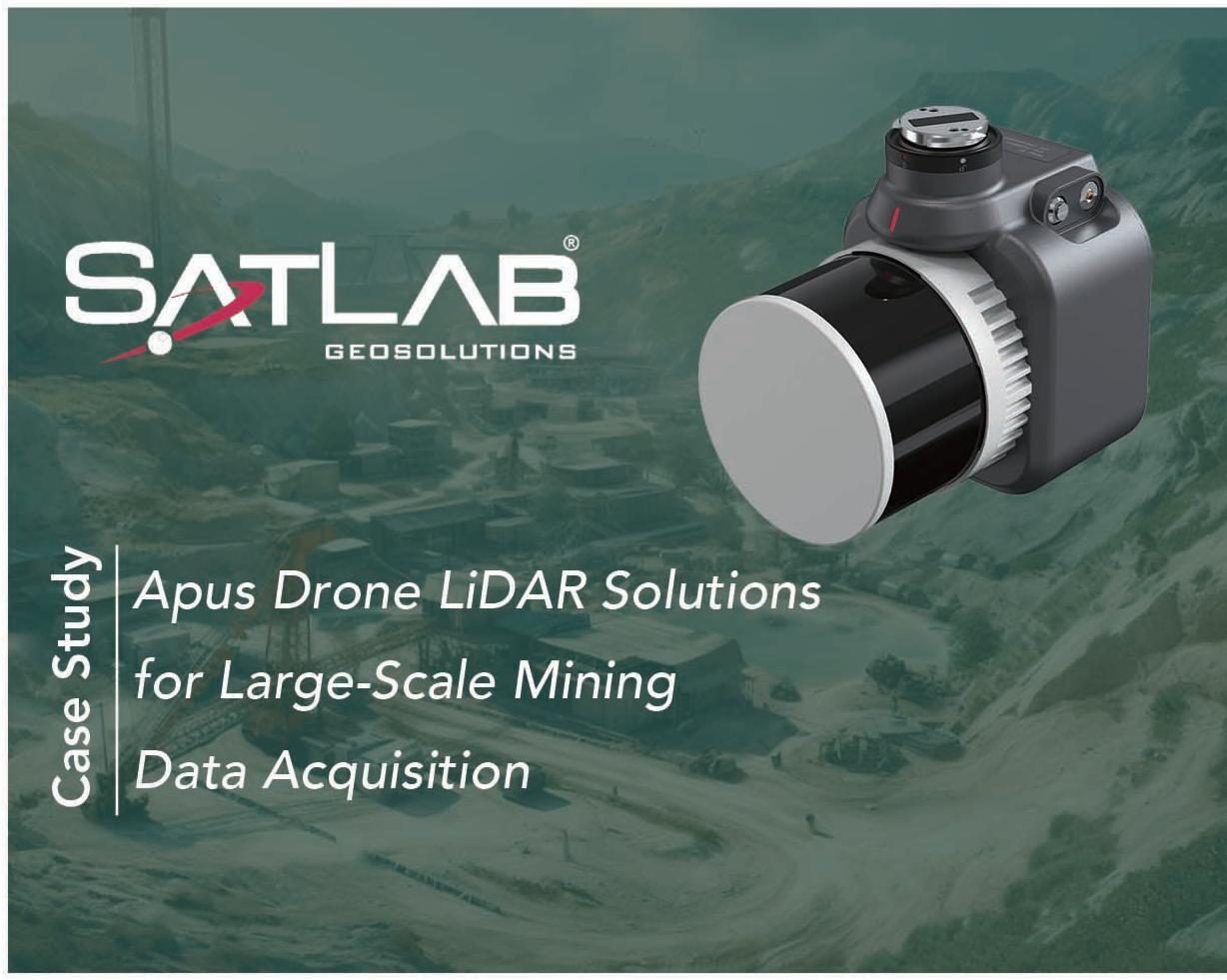
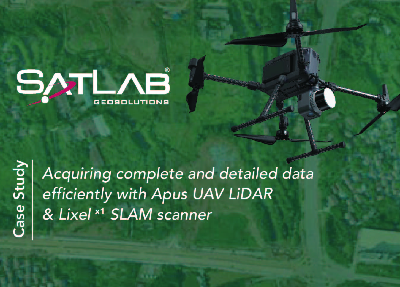
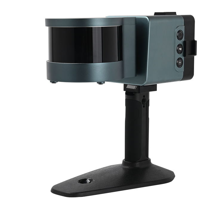
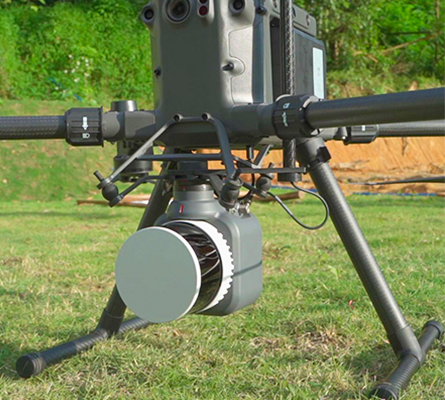
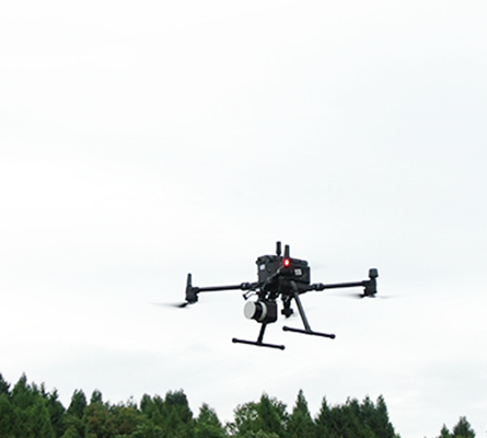
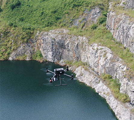
The Apus represents the evolution of SatLab’s LiDAR solutions. This light compact and superior system integrates an advanced laser scanner with an industrial grade camera and a sophisticated inertial navigation system, is able to collect reliable and great detailed point cloud and rich image information.
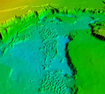
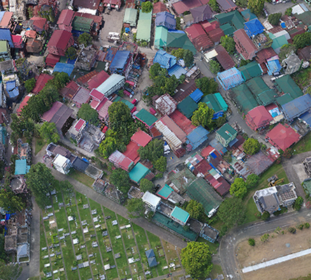
Its diverse applications span across 3D spatial data acquisition for terrain mapping, electricity, forestry and agriculture surveys, emergency response, and land planning.
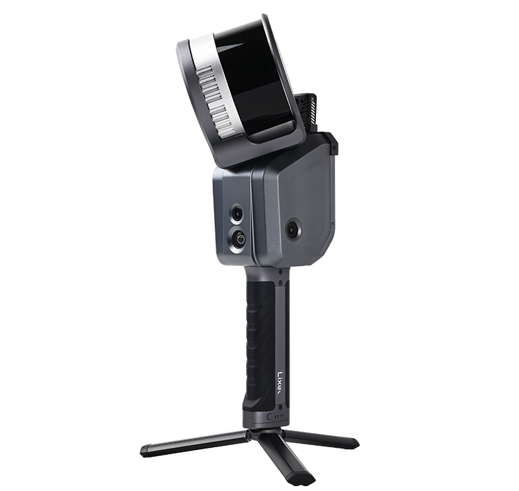
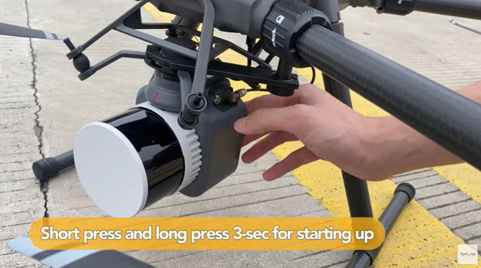
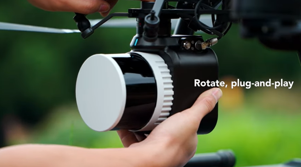
Advanced laser scanner Apus embodies elegance and simplicity. Whether you’re a seasoned LiDAR survey expert or just starting out, our plug-and-play installation and intuitive single-button operation make mapping accessible to all. Get started quickly and cost-effectively.
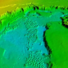
Inside Apus, you’ll find a harmonious fusion of innovation. With the HESAI advanced laser scanner, a high-precision GNSS-aided inertial navigation system, and a high-resolution camera, all elegantly housed in a compact 1kg framework. Its three returns mode empowers it to conquer diverse terrains effortlessly.
Harnessing the power of Sat-LiDAR software, Apus revolutionizes the workflow with a single click. The entire process is streamlined and simplified by seamlessly integrating trajectory solving, data fusion, strip adjustment, point cloud optimization, and vivid colorization. The result is a remarkable combination of precision and visual excellence in data outputs, achieved with unparalleled ease and efficiency.
.png)
![[Webinar] – Apus UAV LiDAR Overview | Beyond Boundaries](https://www.satlab.com.se/wp-content/uploads/2024/05/9.png)