Webinar: A Comprehensive Introduction to APUS UAV LiDAR for Geospatial Professionals
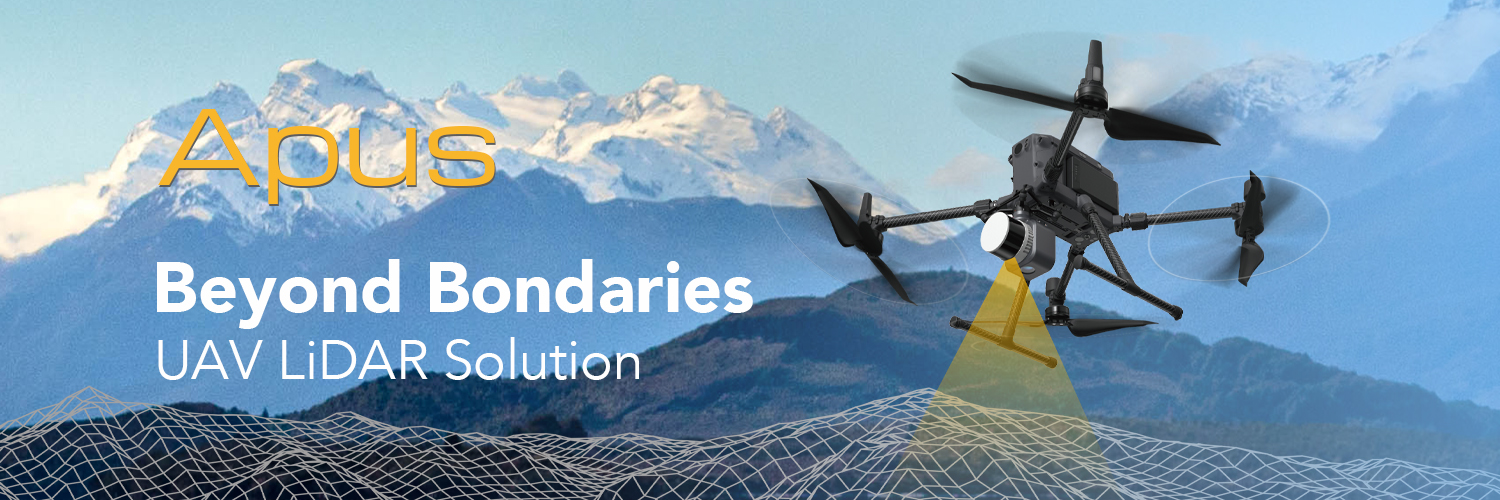
Revolutionizing 3D Spatial Data Acquisition with Apus UAV LiDAR solution
CLICK and REGISTER the webinar>>>
Join us for an exclusive webinar where we will unveil the extraordinary capabilities of the Apus UAV LiDAR system. With its seamless integration of an advanced laser scanner, industrial-grade camera, and sophisticated inertial navigation system, the Apus is a light, compact, and superior system.
Designed for optimal efficiency and productivity, the Apus’s lightweight and compact design allows for effortless deployment on UAV platforms. Experience rapid data acquisition without compromising accuracy, empowering professionals to gather critical data in various environments and scenarios efficiently.
The Apus is poised to revolutionize 3D spatial data acquisition across diverse industries. From terrain mapping and electricity surveys to forestry, agriculture, emergency response, and land planning, the Apus offers unparalleled flexibility and precision for every challenge you face.
During this webinar, we will deeply dive into the exceptional features and benefits of the Apus UAV LiDAR system. Our expert team will showcase its transformative capabilities and real-world applications. Learn how the Apus revolutionizes data collection processes, enhances decision-making, and increases overall operational efficiency.
We invite you to actively participate in this engaging webinar, as we will address any questions or concerns you may have. Our goal is to provide a comprehensive understanding of how the Apus can revolutionize your industry and contribute to your success.
Don’t miss this opportunity to unlock the full potential of the Apus UAV LiDAR system. Register now and be prepared to witness a new era in 3D spatial data acquisition.