
Apus Drone LiDAR Solutions for Large-Scale Mining Data Acquisition
UAV LiDAR technology can create highly detailed 3D maps of the terrain and objects below, while SLAM scanning can accurately locate and position the UAV during the survey.
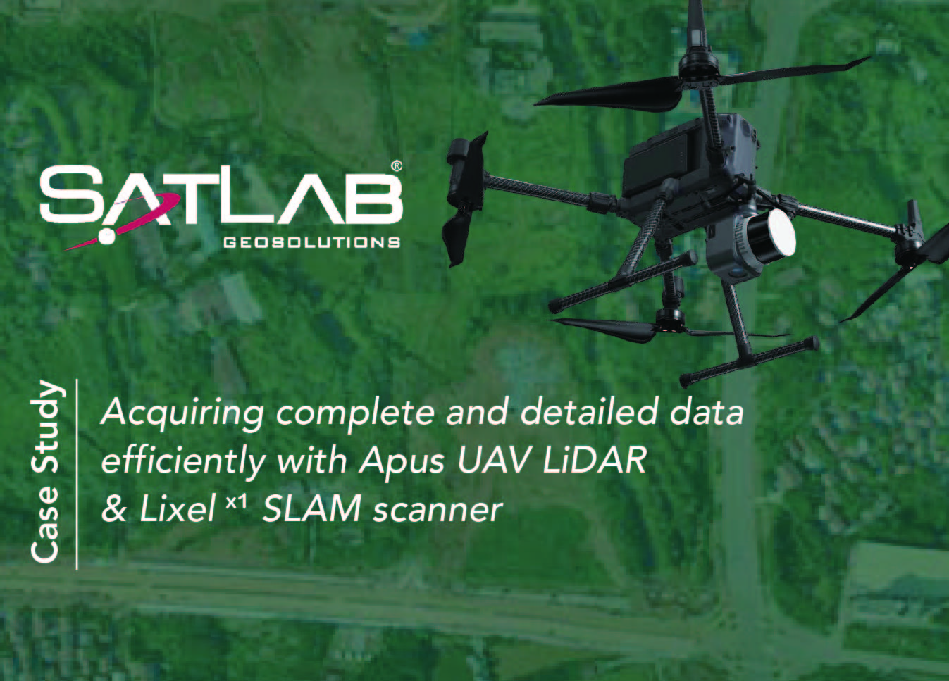
Applying Apus UAV LiDAR & Lixel X1 SLAM scanner in acquiring detailed data efficiently
UAV LiDAR technology can create highly detailed 3D maps of the terrain and objects below, while SLAM scanning can accurately locate and position the UAV during the survey.
Application of Eyr GNSS RTK in Earthwork Survey
Visual positioning techniques applied to earthwork measurement in foundation engineering.

Application of Cygnus SLAM Scanner in Urban Topographic Surveys
Utilizes Cygnus SLAM laser scanners, resulting in more complete and detailed 3D city information.