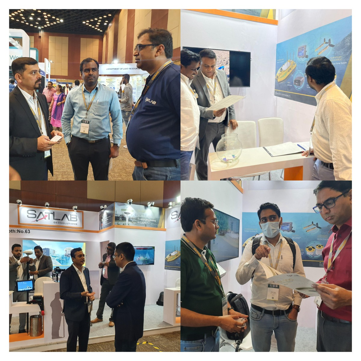
Stand Out in GeoSmart India 2022
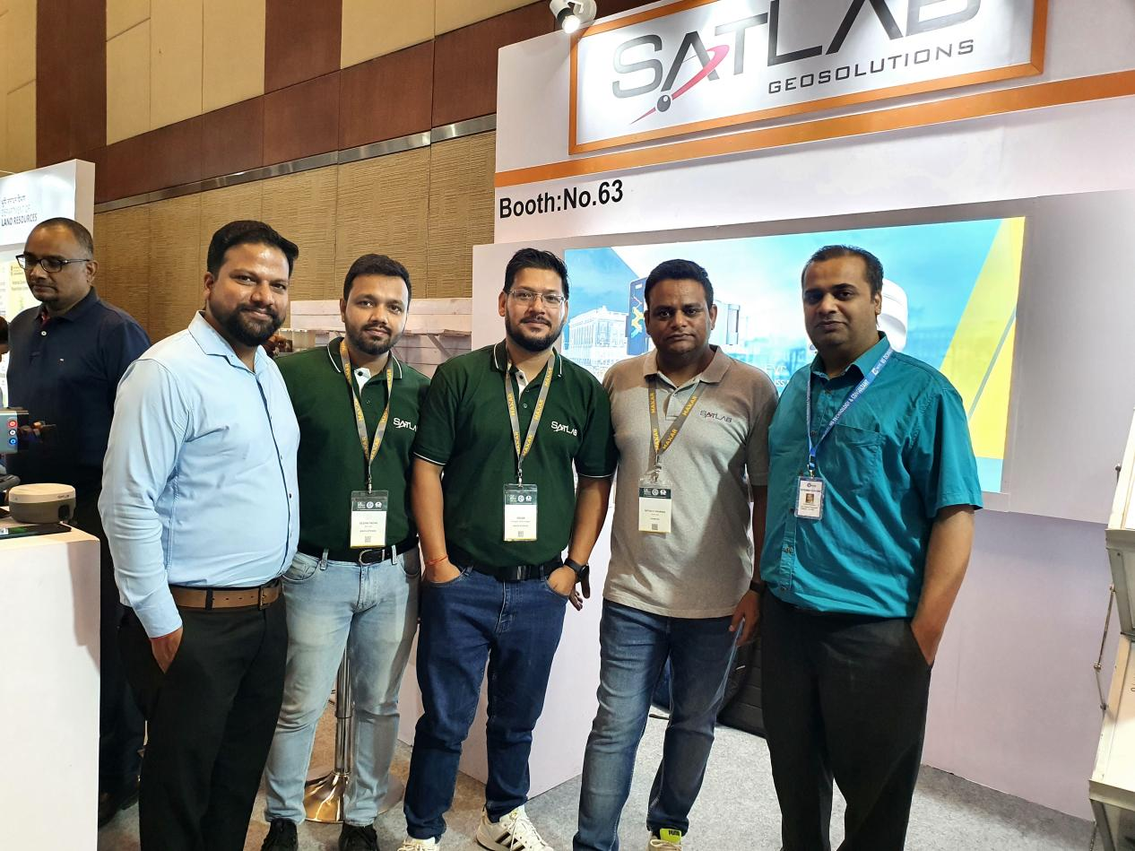
On 15 – 17 November, SatLab team, together with its breakthrough geospatial technologies presented in GeoSmart, India, a great event that strive to make geographic information a common language for people of India!
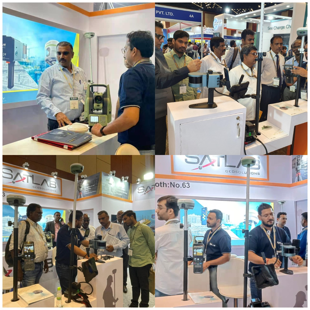
From GNSS RTK, handheld LiDAR Scanner, and HD total station to hydrographic survey equipment, SatLab innovations showcased a data-driven and comprehensive approach using SLAM, sensors and IoT for measuring, mapping and monitoring for both inland and subsea environment.
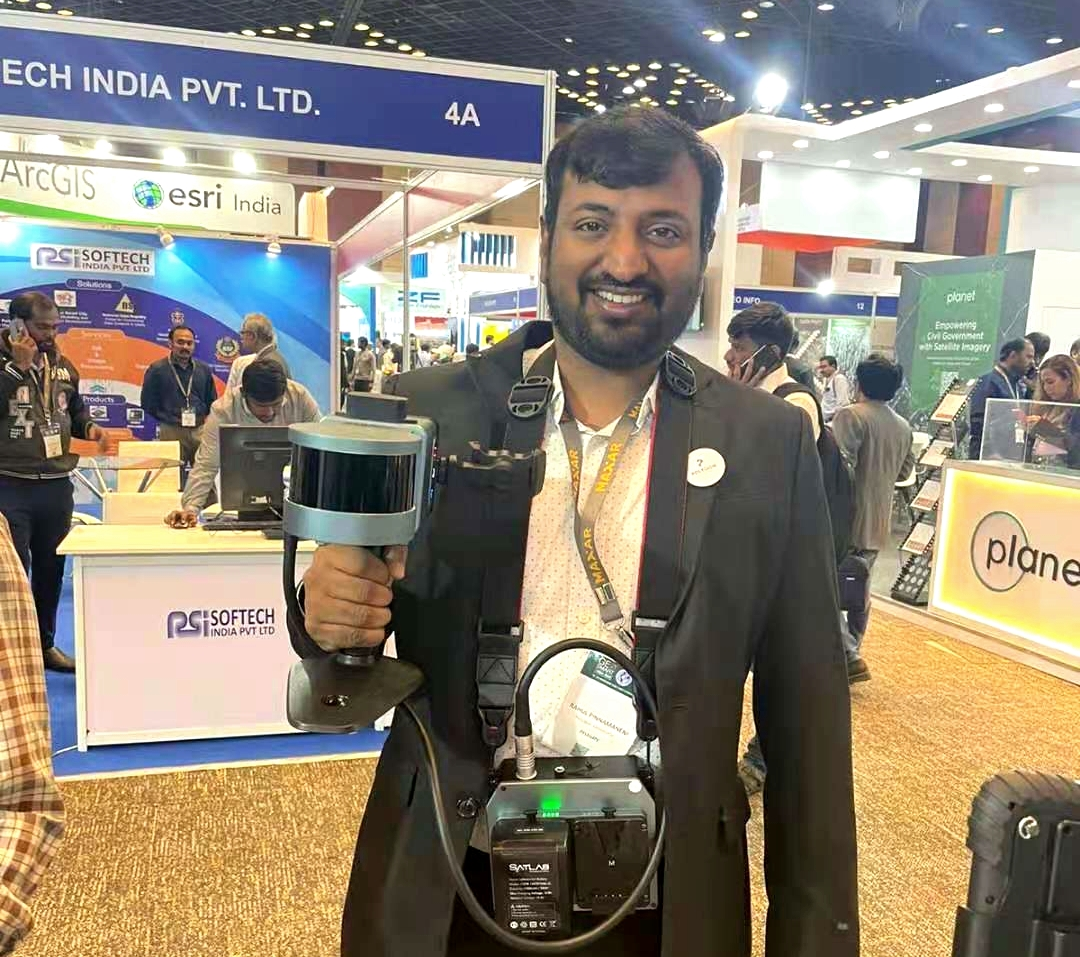
Cygnus, SatLab’s first handheld SLAM scanner, owing to its distinctive design and distinguished features, won visitors’ favours as always. The capability of acquiring point cloud data accurately, the versatility of the application in mining, natural resources and electricity industries, portability of handled or mounting onto a backpack, USV or vehicle make Cygnus stands out and impressed visitors who want to try it out.
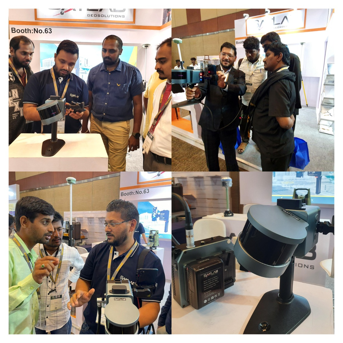
SatLab Team introduced Cygnus to partners and visitors
Visitor was putting on the Cygnus and collecting point cloud
Besides Cygnus, the dual-camera and full-functionality RTK receivers and HD total stations were also called attention to themselves by their unique functions.
Visitors Interviews That Deliver Valuable Insights
We believe that user experience is the driving force behind innovation, therefore, our team interviewed some of the visitors who have been using SatLab’s product for years.
Scene One:
SatLab:
“Sir, can you please give us feedback on applying SL900 RTK in the fieldwork?”
Visitor:
“Generally, we are using this product for re-surveying in Andhra Pradesh. This product is very good and simple to use. The accuracy is very high which saves my time and helps me proceed with the project effectively.”
Scene Two:
SatLab:
“Hi, Mr Korra, how long you have been using our SatLab receiver SL700 and SL900?”
Visitor:
“We are using the SatLab receivers for more than 2 years.”
SatLab:
“So how’s the performance of this receiver?”
Visitor:
“The performance is good as we usually work under the tree, getting very excellent accuracy, I am very satisfied.”
The user’s overall experience gave us a very good perspective on what the end user truly needs. Besides the performance, how easily entry-level or experienced surveyors can operate those geospatial technologies and quickly take help and take forward the challenges they have on almost all the industry verticals also innovate us to bringing collaborative, interactive, and more user-friendly inspiration.
SatLab conducts to unlock mobility in measuring and observing data, and it is crucial to provide practical tools to gather geographic information for Construction and Infrastructure, Water Resource Management, Natural Resources Preservation, Location Analytics and Business Intelligence.
We would like to thank our partners and visitors from all over the world for meeting us and sharing the latest happenings with us in this wonderful event.
GeoSmart 2022 has ended, and SatLab’s journey is still going on, see you again!