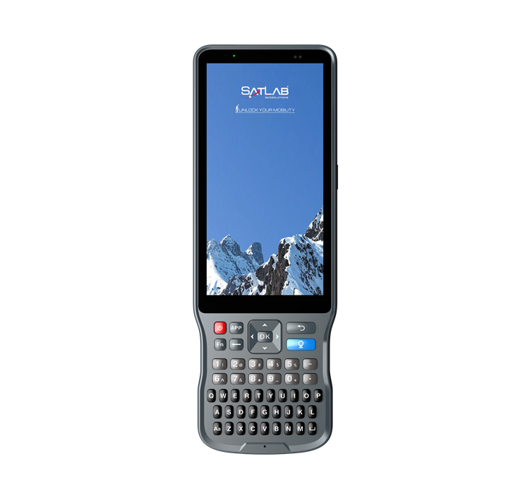
Satsurv Field Surveying Software
Satsurv is a customized and easy-to-use Android software for field surveying tasks, such as Detail Survey, Data Stakeout, Cadastral, Surveying, Road Design and Data Management. It supports tilt survey, quasi-dynamic, PPK and static surveying mode. Equipped with built-in NFC, Bluetooth, FTP functions, Satsurv provides an industrial solution for efficient fieldwork.
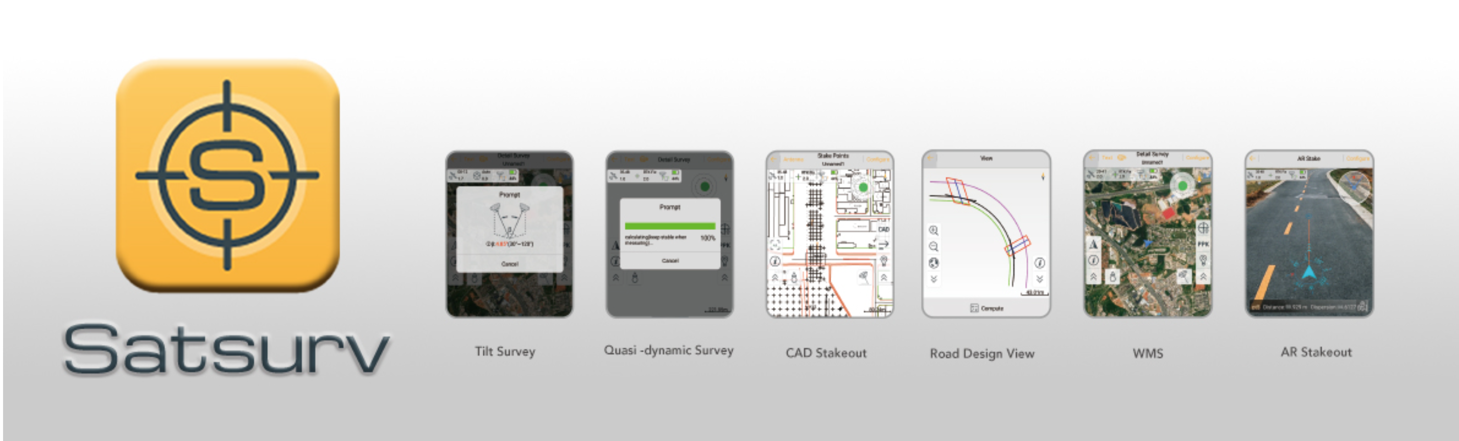
Detail Survey
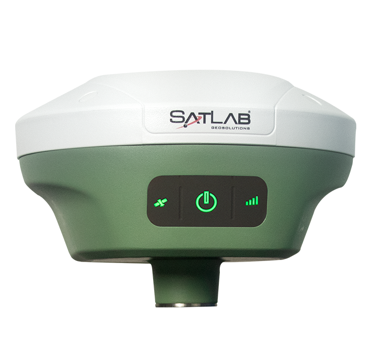
Satsurv supports a variety of collection methods, such as tilt survey, quasi-dynamic survey, PPK collection and static collection, etc. In the detail survey interface, users can set the collection accuracy, stakeout standard, or check the current number of satellites, solution status, age of correction, positioning accuracy, etc.
Data Stakeout
Advanced AR stakeout function will help users improve the efficiency and accuracy of data staking out without focusing on the software interface in real-time. With the intelligent voice prompts, users can accurately determine the direction of data stakeout forward with a built-in compass.
Data Stakeout also supports access to DXF, DWG format data for point stakeout and line stakeout. By the object snap functions of INT, TAN, PER, NOD, user can achieve data stakeout easily.
Data Management
Data Management supports Google Maps, Google Satellite Maps, GIS Offline Maps, and OGC map service of WMS, TMS, WCS, and WFS as its data collection maps. Besides, it supports access to third-party rangefinders to achieve a more accurate measurement of distance and angle.
Shortcut Methods
Satsurv provides some shortcut methods to facilitate users’ operation, such as triggering a Bluetooth connection by using NFC shortcut mode without searching for the device number, quickly registering and opening the latest saved coordinate system via QR code scanning. With the FTP transmission, users can transfer documents in the same network environment without connection cables.