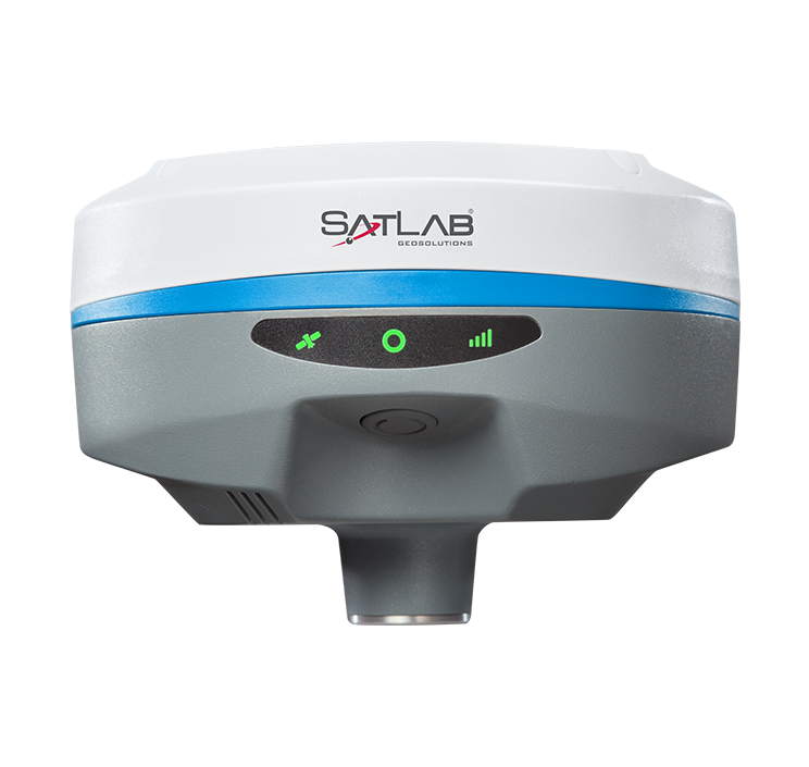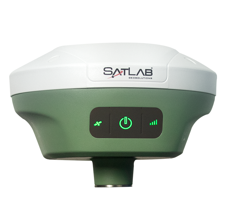
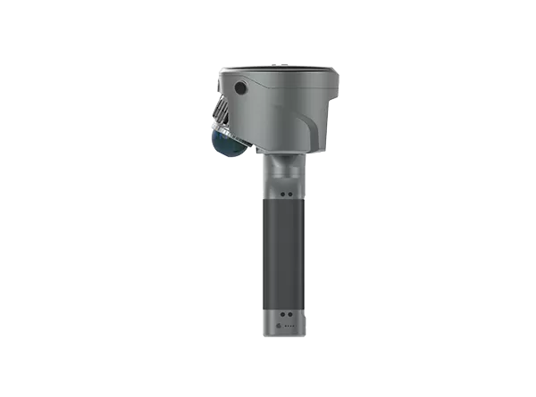
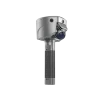
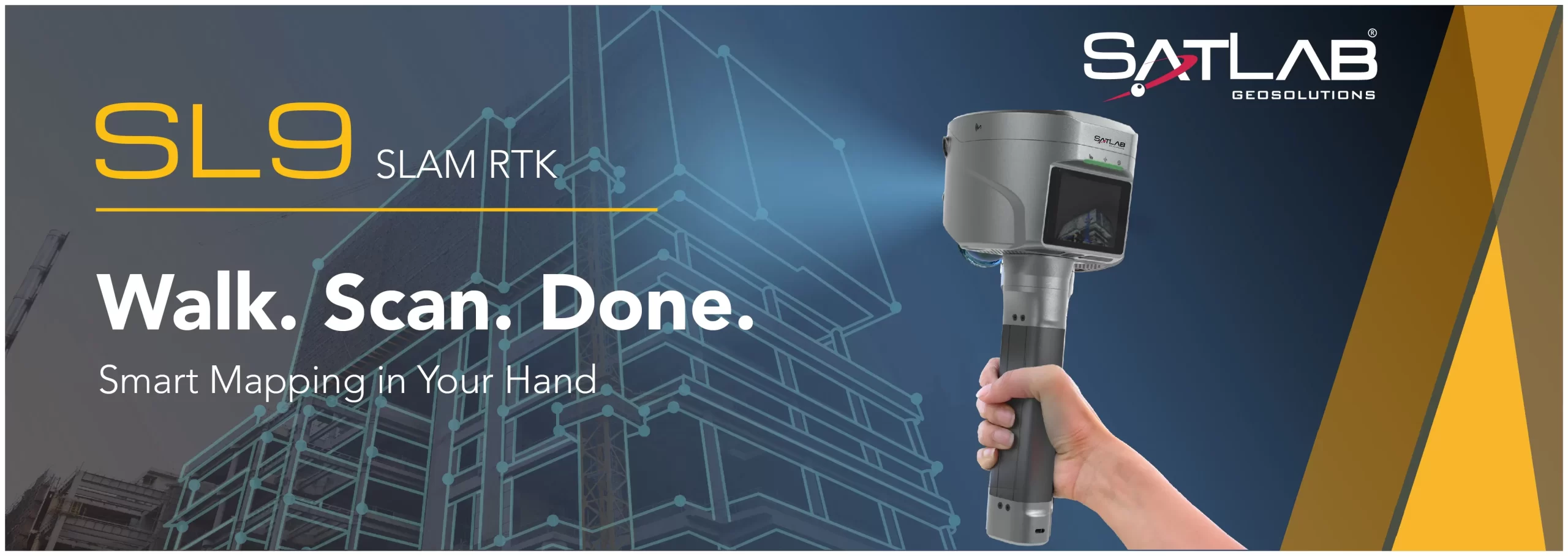
Le SatLab SL9 SLAM RTK associe un positionnement GNSS de haute précision à la technologie SLAM de pointe, éliminant ainsi les contraintes spatiales des mesures RTK traditionnelles. Que ce soit en milieu urbain, en forêt dense ou en intérieur, le SL9 garantit des mesures fiables et précises, redéfinissant l'efficacité et la polyvalence du travail sur le terrain.
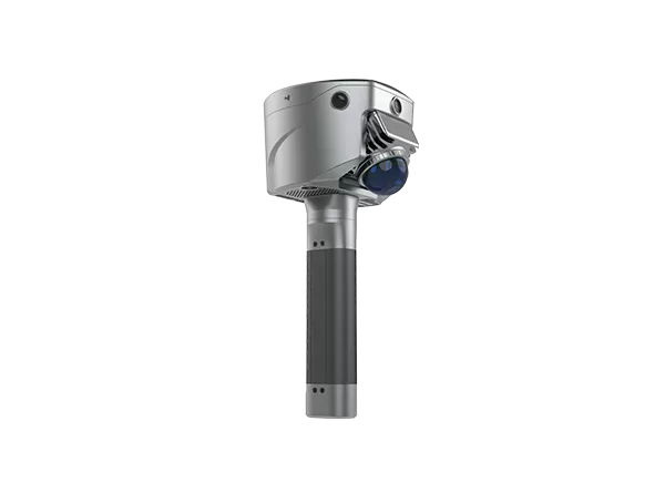
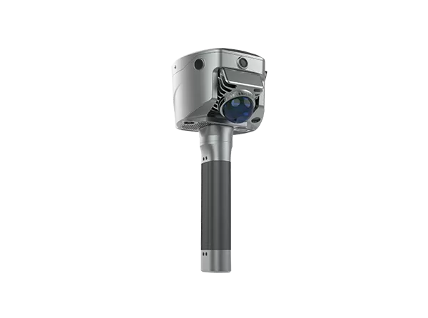
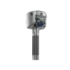
Grâce à ses trois caméras HD et à l'intégration SLAM, le SL9 vous permet de mesurer en temps réel : il suffit de sélectionner le point cible dans l'image pour obtenir ses coordonnées 3D. Obtenez une précision de 2 à 5 cm à 15 mètres près grâce à l'application Satsurv.
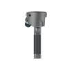
Le SL9 bascule intelligemment entre RTK et SLAM. Obtenez des coordonnées fiables même sous les ponts, les avant-toits ou à l'intérieur : sans signal, aucun problème.
Fini les données de couture. SL9 maintient vos coordonnées unifiées dans tous les environnements : pas de points de contrôle, pas de fermeture de boucle, pas de souci.
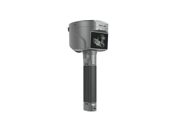
Générez instantanément un terrain 3D et calculez les volumes directement sur site à l'aide de l'application Satsurv basée sur Android.
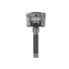
Suivez toutes les principales constellations avec des performances supérieures dans des environnements difficiles, atteignant une précision au centimètre près.
Post-traitez vos données avec Sat-LiDAR pour une épaisseur inférieure à 2 cm et une précision inférieure à 1 cm. Le logiciel prend en charge l'analyse des travaux d'excavation de tunnels, le suivi de leur avancement et les contrôles de réception. Il facilite également les projets de rénovation grâce à des coupes transversales, des plans et des élévations.